All over the geography of Nepal is a land of heaven on the planet. Nepal is a small and landlocked country in South Asia, 800km long and 200km wide (147,181km²). We can say that Nepal is beautiful because of the Himalayan region of Nepal. The country by longitude situated at 28.3949° N, 84.1240° E.
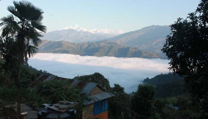
The terrain from the glacier on the Tibetan border to the flat, it is called Terai. The elevation falls approximately 150 meters above sea level in Terai and there is the lowest point of Nepal is 70m. It rises in several chains of hills from east to west and ending in the highest in Himalaya with the world highest Mount Everest (8848m). It is known as most of the rivers flow southward from the glacier of Nepal Himalaya and it goes out to India.
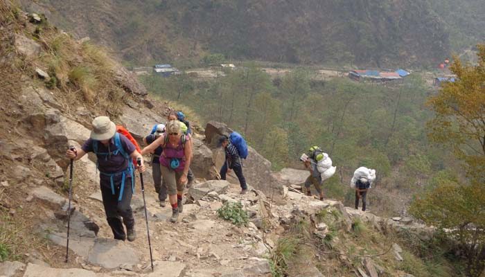
Karnali River is the longest river (180km) of Nepal and it flows west to east. Source of Karnali River is Rakshas Taal (Lake) and Lake Mansarovar which lies in Tibet near Mount Kailash. So, it runs through the deep gorges by cuts the far west Himalayas of Nepal. The climates of the region keep dry. Ideally, in the far west less rain even in the monsoon. The traders' routes are south to north (India to Tibet throughout high passes of Nepal Himalaya) and it turned north to south also, nowadays. Geography of Nepal is divided into four regions, Terai (flat), middle hills, the Himalaya and trans-Himalaya.
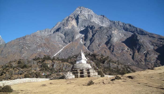
The Terai is mostly in the southern region, an extension of the genetic plains of India. It is the main cultivated lands of Nepal. This is home about 47% of Nepal population. The middle hill region is home of ancient ethnic groups of Nepal. The Kathmandu capital town of Nepal lies in this middle hill part and a beautiful and very popular city Pokhara. In the middle hills, lives about 45% of the total population of the country. The hills endless cultivated lands where groceries with wheat, rice, millet, maize, and different vegetables. The Himalaya foothill runs to the northern border and lives about 8% population of the country in the region. The settlements are 3000m to 4000m (approximately but somewhere as high as 5000m. They grow potatoes, barley, buckwheat, and some seasonal vegetables. It is a high desert region like the Tibetan plateau, which is the Trans-Himalaya. It is also known as rain shadow belt such a Manang, Mustang, Dolpo and Limi, significantly than the southern part of Nepal. It is a short detail regarding the geography of Nepal.
![]()
![]()
![]()
![]()
![]()
![]()
![]()
![]()
![]()
![]()
![]()
© 2024, Nepal Kailash Trekking. All Rights Reserved.
Design by: webdesigninnepal.com